Geospatial Health Stat
Welcome to my innovation site
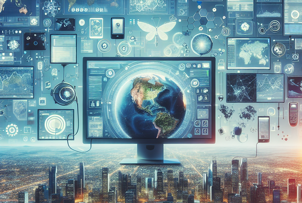
"Mapping the Future of Healthcare Innovation"


Revolutionizing Public Health Through Geospatial Technology
Aug 21, 2024
3 min read
0
1
0
In the dynamic landscape of public health, advancements in technology have opened new horizons for professionals to enhance their practices. One such groundbreaking innovation that is transforming the way public health initiatives are managed and delivered is Geospatial Technology. This state-of-the-art tool harnesses the power of location-based data to map, analyze, and visualize critical information, providing insights that were previously unimaginable.
Unveiling the Potential of Geospatial Tech
Imagine having the ability to pinpoint areas with the highest prevalence of disease outbreaks, analyze environmental factors that contribute to public health risks, or efficiently plan the distribution of resources for healthcare interventions. Geospatial technology makes all this and more possible by integrating geographic data with advanced analytics to create meaningful visual representations.

With the aid of geospatial technology, public health professionals can identify patterns, trends, and correlations that enable targeted interventions and proactive measures. By overlaying health data onto maps, stakeholders gain a comprehensive understanding of the spatial context of health issues, allowing for informed decision-making and evidence-based strategies.
Enhancing Healthcare Delivery with Geospatial Insights
Geospatial technology plays a pivotal role in optimizing healthcare delivery by facilitating efficient resource allocation and service planning. Through spatial analysis, professionals can determine optimal locations for healthcare facilities, vaccination centers, and emergency services based on population distribution, disease prevalence, and accessibility factors.
Moreover, the integration of geospatial data with real-time information enables rapid response to public health emergencies and natural disasters. By visualizing the impact zones and demographics at risk, authorities can strategize evacuation procedures, mobilize response teams, and coordinate relief efforts effectively, thereby minimizing casualties and ensuring timely assistance.
Geospatial Analysis in Disease Surveillance
Disease surveillance forms a cornerstone of public health systems worldwide, aiming to track, monitor, and control the spread of infectious diseases. Geospatial technology revolutionizes the surveillance process by offering a spatial perspective to disease mapping and monitoring. By geotagging cases, professionals can identify clusters, hotspots, and transmission patterns, thereby facilitating early detection and containment of outbreaks.
Through geospatial analysis, public health authorities can track the movement of infectious diseases, model their spread, and predict potential hotspots, enabling targeted interventions such as quarantine measures, vaccination campaigns, and public awareness initiatives. This proactive approach enhances the overall preparedness and response mechanisms of healthcare systems, safeguarding communities against health threats.
Geospatial Technology and Health Equity
In the realm of public health equity, geospatial technology serves as a valuable tool for addressing disparities in healthcare access and outcomes. By mapping social determinants of health, such as poverty levels, education, and environmental conditions, professionals can identify underserved populations and areas with limited healthcare resources.
This targeted approach empowers policymakers to implement targeted interventions, allocate resources efficiently, and bridge the gap in healthcare disparities. Through geospatial insights, communities can advocate for improved health services, infrastructure development, and social support systems, fostering a more inclusive and equitable healthcare ecosystem.
Embracing the Geospatial Revolution
As public health professionals navigate the complex challenges of today's global health landscape, the integration of geospatial technology offers a transformative opportunity to enhance decision-making, optimize resource utilization, and improve health outcomes. By harnessing the power of spatial data analytics, professionals can unlock a wealth of insights that drive evidence-based strategies, mitigate risks, and promote the well-being of populations worldwide.
In conclusion, the fusion of geospatial technology with public health initiatives represents a paradigm shift towards a more proactive, data-driven approach to healthcare delivery. By embracing this geospatial revolution, professionals can elevate their practices, advance health equity, and create resilient healthcare systems that are primed to address the evolving health challenges of the future.
Let's chart a new course in public health with geospatial technology – where data meets innovation and transforms the way we safeguard the health of communities globally.
Website Name: [Website Name Link] Business Type: [User Business Type]
Related Posts


